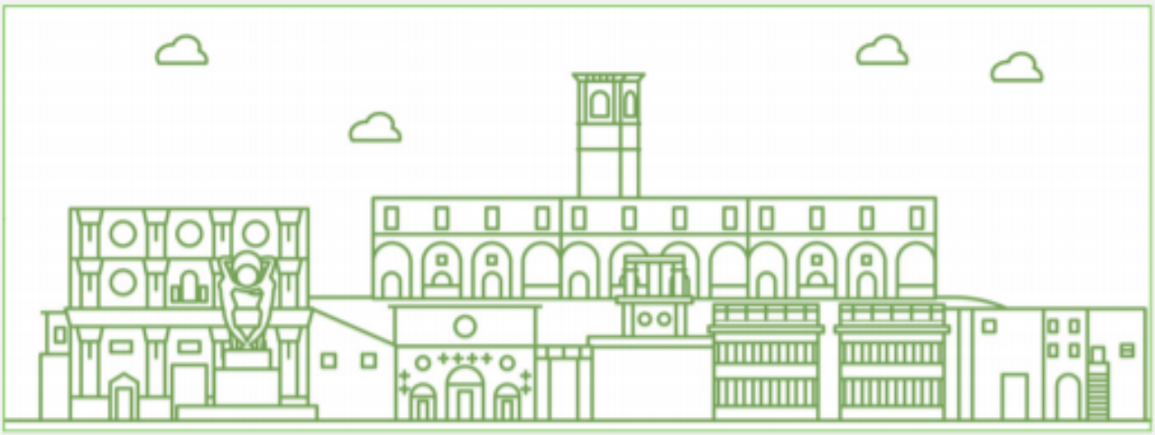
The work presented here is articulated around two main objectives, one more properly scientific-academic, one of an industrial-applicative nature. The starting point, the first aspect, consists in the reconstruction of the urban evolution of the city through the study of historical cartography and of its main places and monuments with the aim of presenting the main transformations in the form of digital, dynamic and interactive cartography.
The second aspect is aimed at focusing on the type of technology to be used, choosing the specific tools within the large family of GIS software. Particular emphasis is placed here on aspects that can be generically identified in solutions for mobile devices for a purpose that can be broadly summarized in terms of “formats for dissemination”.
In the course of the research this last concept has been articulated and re-discussed also in relation to the fact that the very idea of “disclosure” can take on different accents ranging from more traditional solutions to the possibility of sharing an explicit research process and providing a data that is available for further analysis.